Home » State to begin developing wildfire risk maps
State to begin developing wildfire risk maps

March 28, 2025
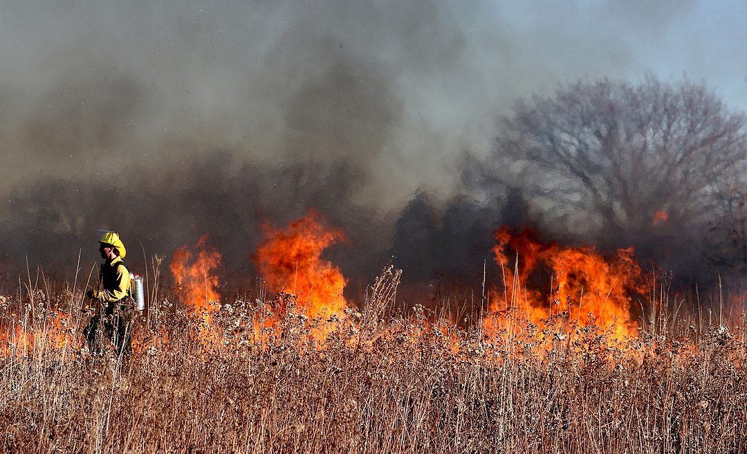
The state Department of Natural Resources has kicked off a new effort to develop publicly-available maps showing wildfire risk across the state.
The department’s Wildland Fire Management division recently with stakeholders virtually to review current science, understand data needs for mapping, defining the scope of the maps and identifying opportunities and challenges for local reporting, according to a release.
A new state law passed by the legislature in 2024 charged the department with developing the maps.
“The intent is for these maps, once created, to be public-facing via DNR’s website – with counties able to provide information to update the maps on a regular basis,” according to the release. “The maps, at a minimum, will designate vulnerable resources or assets based on their exposure and susceptibility to wildfire.”
The project is one of the latest ways that the state is requiring its agencies as well as municipalities to address the risks from wildfire and other natural hazards resulting from climate change.
According to data from the U.S. Department of Agriculture and Forest Service, Benton County is rated as having very high wildfire risk to homes, higher than 94% of all counties in the U.S.
Franklin County is rated at high risk, higher than 86% of all counties in the U.S.
Earlier in March the Benton-Franklin Council of Governments coordinated community meetings to gather local input on how rising temperatures, wildfires and low snowpack could threaten Tri-City communities. The information gathering is required by a 2023 state law when local governments update their comprehensive plans.
In January, the state’s Office of the Insurance Commissioner reported that Washington residents were beginning to see more non-renewals of home insurance coverage in the wake of the devastating fires in the Los Angeles area of California.
Latest News
KEYWORDS March 2025
Related Articles
Related Products


